Prior to going to the park, we'd read about it in AMC's Best Day Hikes Near New York City. The book rated the hike as difficult and recommended a longer path than we ended up taking. The park itself rated most of the trails as easy-moderate with one labelled as moderate-difficult. Alek and I weren't sure what to expect but we were hoping for a moderate-difficult hike.
We planned to start at the nature center and then take the blue trail to the yellow trail out to High Rock Park. There we planned to have lunch, after which we would take the blue trail to the white trail back to the nature center.
Our hike went mostly as planned. We had a little trouble finding trails at the start, as we weren't following the trail markers properly. The trail markers were rectangles painted on trees. Once we realized how to read them we were fine. There were a few times when we back tracked to make sure we didn't miss a turn-off.
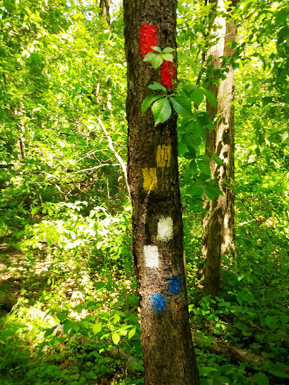 |
| Trail makers the red trail goes left here and all others go right |
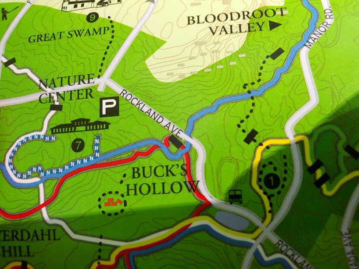
We purposefully deviated from our plans a tiny bit to follow the red trail out to Buck's Hollow to see the ruins of the Heyerdahl House. The trail map was simply marked with ruins and since ruins are always cool to see we had to stop off.
 |
| Ruins on the trail map? We're in! |
Ruins on the trail map? We're in!
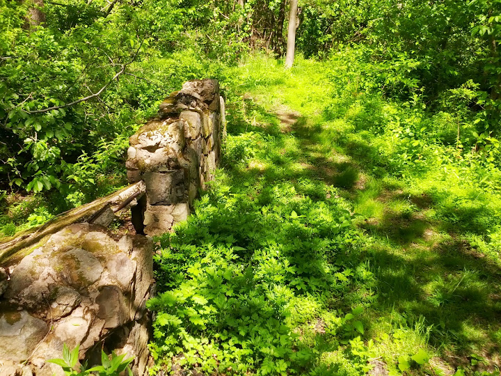 |
| Part of the ruins |
After seeing what remained of the old stone home, we were off toward the yellow trail and Moses Mountain. Before getting to Moses Mountain, the trail goes out on to the street. Here things got a bit confusing so we looked at a dam while we gathered our bearings!
 | |
| Dam along the road. |
We crossed the street and come to a fork in the path. Immediately ahead of us was a somewhat steep rock scramble while to our left was a flatter path. We knew the yellow path was marked moderate/difficult so we took the rock scramble up to the top of Moses Mountain. It was good climb. Not super difficult but I commented on the way up that I hoped we wouldn't need to come down this way.
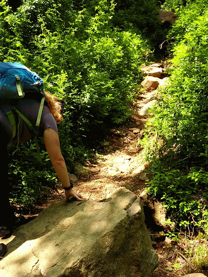 |
| This photo doesn't show the steepness, but if you can see the rock in the top center we climbed up and over that. |
The top of Moses Mountain was really nice. There were many birds and beautiful views of the surrounding area from 260 feet above sea level.
 |
| birds and some views |
We did end up having to come down a steep path with some loose rocks. The descent was awesome but tricky. After we got down we realized that we'd gone off the yellow trail on to something that was maybe more difficult. It was definitely worth it though!
After some more hiking over foot bridges and through woods, we came to the parking area for Rock Hill Park. This was a good area to stop for lunch and bathroom breaks once we found the picnic tables and bathrooms. Here we had our lunch of goat cheese, walnut, and fig jam sandwiches followed by a girl scout cookie dessert. Then we were off again. By now we had hiked 3 miles in nearly 2 hours. We originally thought we might go longer but changed our minds after the scramble. From here we decided to find the blue path to head back.
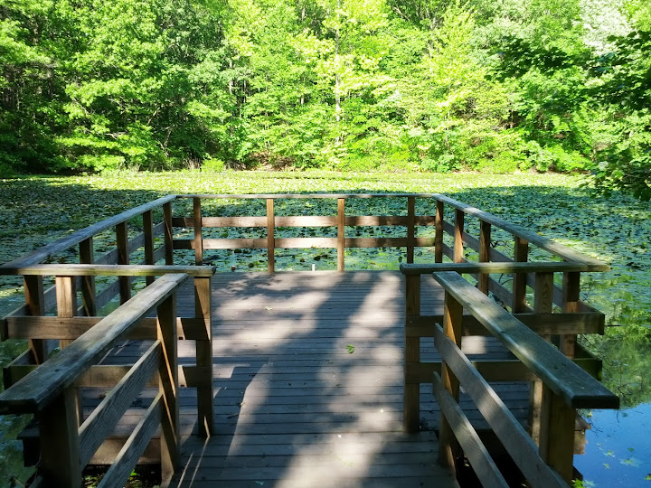
They way back was easier and mostly uneventful. Most of this hike was through marshland. We did pass by a cool pond with a lot of lily pads and a small pier going out over it.
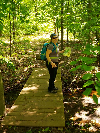
There were also a bunch of fun foot bridges, including one that was a bit bouncy when you crossed it.
 |
| I'm bouncing in the middle. What, that didn't become an animated gif?? |
We made it back to the visitor's center after having gone 5.5 miles in about 3 hours. It was a great hike. It's remarkable to have an area like this within the city limits. Other hikers were far and few between and the hike offered up a lot of solitude!
I'm excited for more hikes like this throughout the summer and fall. We'd love some recommendations if you've gone hiking near the city!